
Tulare ZIP Codes and Their Reach
A ZIP code directory entry should state whether the code is current, historical, or merely associated with a mailing city. The researched local table is short, which is useful: it prevents a guessed list of neighborhood ZIPs from being presented as fact.
| ZIP | Verified area or status | Post office | Notes |
|---|---|---|---|
| 93274 | Tulare mailing city | Tulare Post Office, 340 E. Tulare Ave., Tulare, CA 93274-9998 | Check each street address with USPS; exact neighborhood polygon was not verified |
| 93275 | Historical or deleted routing | Consolidated to Tulare 93274 | USPS 2017 Postal Bulletin shows deletion and consolidation; not a current independent area ZIP |
The Tulare Post Office listing gives 559-684-6000. A city-and-state result can show ZIPs associated with a mailing city, but it does not establish the incorporated boundary.
Search Tulare Residents by ZIP
A ZIP code can narrow a residents directory question when the source itself accepts a ZIP or when a known address is being sorted. The researched county assessor and GIS materials do not verify a public ZIP-filter mode. Do not imply that entering 93274 into the assessor portal will produce a resident list. Use ZIP as a first slice, then pivot to the exact address or APN.
- Use the USPS address mode to confirm the street address, city, state, and ZIP+4.
- Record whether the postal city is Tulare and whether the address appears within the incorporated city line.
- Use the County Assessor by address, landmark, or APN to identify the parcel.
- Choose City Clerk, City Building, or County RMA permit custody from the jurisdiction, not from the ZIP alone.
- For an older name, move from the ZIP to a dated directory or newspaper rather than treating a current postal code as historical proof.
Once a ZIP narrows the area, the Tulare street directory handles the address chain. The ZIP code directory stops short of naming every person inside a delivery area.
USPS Lookup Fields for Tulare
USPS offers three useful modes. By Address is the final check for one location. By City and State identifies ZIPs associated with a mailing city. Cities by ZIP lists preferred or accepted city names. Those outputs answer postal questions, not parcel ownership or residence questions.
| USPS mode | Inputs | Output or use |
|---|---|---|
| By Address | Street address, city/state, or ZIP | Standardized address and ZIP+4 |
| By City and State | City and state | ZIPs associated with the mailing city |
| Cities by ZIP | ZIP code | Preferred or accepted city names |
The USPS ZIP Code Lookup is the authority for one Tulare delivery address.
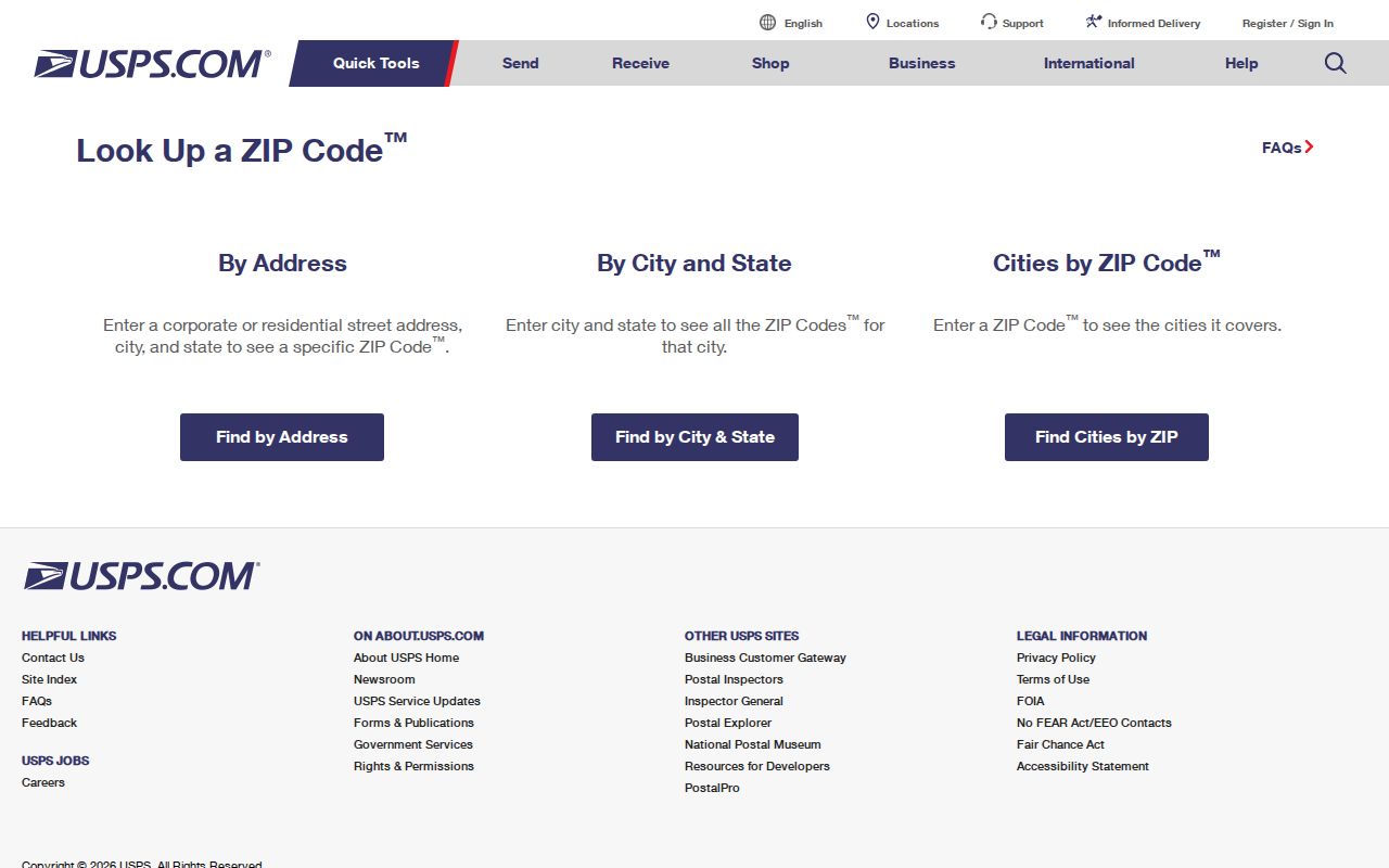
The USPS screen illustrates the correct order: verify the address and ZIP first, then use a local record system for the question that remains.
Tulare ZIP 93275 History
93275 should not be listed as a current second Tulare area ZIP. The USPS 2017 Postal Bulletin shows that 93275 was deleted or consolidated into 93274. It can still appear in older correspondence, directory material, or a historic record, so it is a useful date clue. It is not a reason to split today's Tulare residents directory into two active postal zones.
When an old record carries 93275, preserve the original spelling and ZIP, then verify the street address through current USPS lookup. Compare the date, post office route, directory title, and parcel record. Historical postal coding may describe the routing system of its time rather than a present boundary.
Tulare ZIP and City Limits
ZIPs route mail. They do not decide the incorporated line, school attendance, voting precinct, or permit jurisdiction. City Planning handles subdivisions, annexations, the General Plan, zoning, and specific plans. County policy channels urban growth while protecting agricultural land. That edge is why a Tulare mailing address may need a County RMA record even when the postal city reads Tulare.
The City ArcGIS General Plan Land Use 2030 layer includes categories such as Neighborhood Commercial and Open Space/Agriculture. It is planning geography, not a ZIP layer. To decide custody, confirm the parcel or jurisdiction with the relevant city or county office.
Boundary rule. A ZIP code tells a carrier where to route mail. An APN, situs, legal description, and incorporated boundary answer different local-record questions.
Tulare ZIP Address Points
County NG911 services expose a Tulare Address Points layer and standardized GIS street-name fields. The metadata did not identify an assignment office or numbering baseline, so the layer is an addressing aid rather than proof of a street-history rule. City ArcGIS services add planning and address context, but dynamic popup fields and buffer controls require live inspection.
Use the map to move from ZIP to address, then from address to parcel. An APN is a tax and map identifier. Situs is the physical mapped location. The legal description binds land in a deed. The mailing address routes notices. Each can remain useful when another field changes.
The City of Tulare ArcGIS service directory is the source for the local map-service layer.
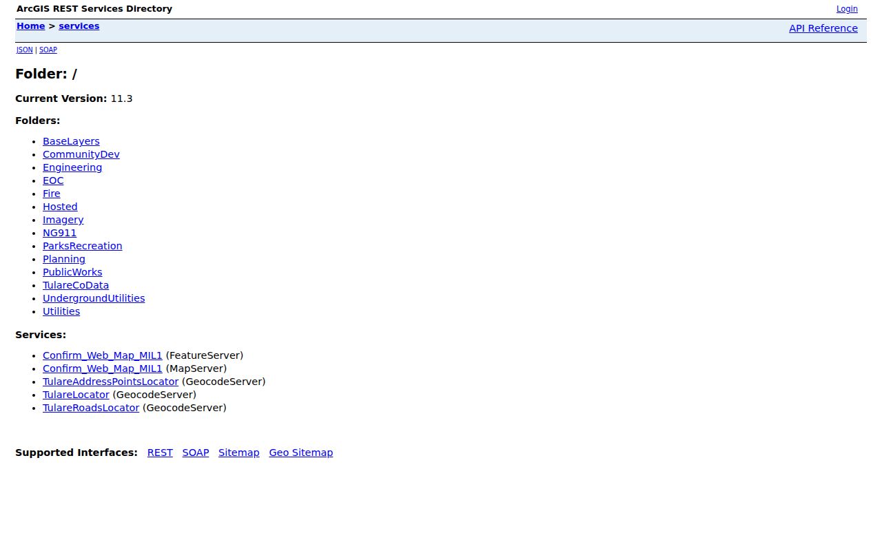
Map services help resolve geography, but a parcel result still needs the assessor or Recorder for record-level evidence.
Tulare ZIP, APN, and Legal Description
These terms are easy to mix in a ZIP code directory search. Keep their roles clear before comparing a postal result with a person or property record.
- ZIP code
- A USPS delivery-routing code. It does not define a city government boundary.
- ZIP+4
- The extended postal code used to refine delivery for an address.
- APN
- The assessor's parcel identifier used to connect land, map, and assessment records.
- Situs
- The physical property location shown on a map or assessment record.
- Legal description
- The formal land description carried by a deed and useful when numbers change.
No current PO-box-only or unique Tulare ZIP was verified in the research. No official polygon tied each neighborhood or unincorporated pocket to 93274 was verified either. Those gaps are reasons to check one address, not to infer a boundary.
Tulare Directories Across ZIP Codes
Older Tulare city directories predate today's postal assumptions and use their own geography. Hillman holdings begin with an 1888 county business title, 1904-05 resident/business volume, 1908-09 multi-county telephone book, and later Tulare City and Polk's titles with gaps. A historical name should be matched to the directory's printed address, title, and year before any ZIP translation is attempted.
When a directory year is missing, use the nearest held volume, Advance-Register or Delta microfilm, census, Sanborn sheet, deed, obituary, or probate record. The city-directory collection owns the shelf and exact reading method. The ZIP code directory supplies only the current postal slice.
Tulare ZIP Directory Gaps
Several useful details were not verified: a ZIP-capable assessor filter, a current PO-box-only or unique ZIP, a neighborhood polygon for 93274, a Tulare APN-format guide, a numbering baseline, and a dated street-renumbering project. A high-quality ZIP code directory should say so plainly. The official sources are USPS for delivery, City Planning for city geography, County GIS for parcel context, and the Assessor or Recorder for land records.
That division of labor also explains why a ZIP result may send a reader to more than one office. USPS can standardize a street address and return ZIP+4. The County Assessor can pivot from that address to an APN, landmark, or assessment search. County GIS can place the parcel among nearby polygons. City Planning can explain a subdivision, annexation, zoning layer, or specific plan. None of those steps creates a public name list, and none replaces the custodian of a deed, permit, court file, or voter record.
For an address that needs a public-record request, include the street number, street name, APN if known, record type, and date range. The City form offers electronic delivery, physical copies after payment, or inspection by appointment. County-created material follows a separate CPRA route. Postal certainty makes the request easier to route, but it does not change which office created the record.
Keep the original postal result beside the later APN and jurisdiction check. That small source log preserves whether the clue came from a current delivery lookup, a historical ZIP, a city planning layer, or a county parcel record. An APN can outlast a mailing label, while a legal description can outlast both. If the result needs who owns a particular parcel, move to the address record chain. If it needs a particular person, move to the resident lookup and compare role and date.
Tulare ZIP and Postal Boundaries
A ZIP code directory can narrow a mailing search, but its boundary is not a legal city line. The Tulare urban-agricultural edge, annexation work, county growth policy, and planning layers all operate on different maps. Postal city, parcel jurisdiction, voting geography, and permit custody can disagree without any record being wrong.
Verify before naming an office. Use USPS for the address and ZIP, the Assessor or GIS for the parcel, and City or County staff for the governing record. Do not treat a postal label as a resident list.
The safest ZIP workflow ends with a precise address and an identified custodian. That keeps a postal code useful without asking it to answer a question it was never designed to answer.